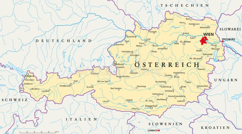
Austria political map German labeling
Political map of Austria with capital Vienna, national borders, most important cities, rivers and lakes. Illustration with German labeling and scaling.
View Full Image on Dreamstime
Keywords:
atlasaustriabadenbratislavabraunaubregenzburgenlandcarinthiacartographyconstancecroatiaczechiadanubedraueisenstadtgermanygrazhallstatthungaryinninnsbruckitalyklagenfurtkremslaibachlakeliechtensteinlinzljubljanalowermapmelkmozartmurneusiedlneustadtpoeltenpressburgsalzachsalzburgsanktslovakiasloveniastyriaswitzerlandtiroluppervaduzviennavillachvorarlbergwelswiener
Username: Peterhermesfurian
Editorial: No
Width: 9000 pixels
Height: 5003 pixels
Downloads: 6
Image ID: 103523402