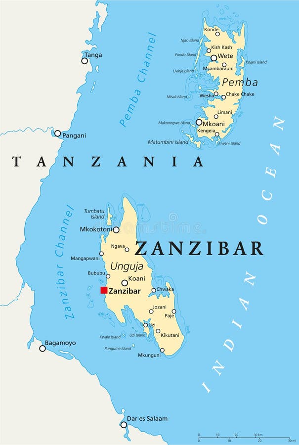
Zanzibar Political Map
Zanzibar, political map of the semi-autonomous part of Tanzania in East Africa, an archipelago in the Indian Ocean composed of the two islands Unguja and Pemba. English labeling and scaling.
View Full Image on Dreamstime
Keywords:
africaarchipelagoatlascartographychannelcitycoastcoastlinecountryeastgeographyindianislandislandskoanimapmatumbinimkokotonioceanpembapoliticalrepublicspicestoneswahilitanganyikatanzaniatowntraveltumbatuungujawetezanzibar
Username: Peterhermesfurian
Editorial: No
Width: 6000 pixels
Height: 8925 pixels
Downloads: 7
Image ID: 103857624