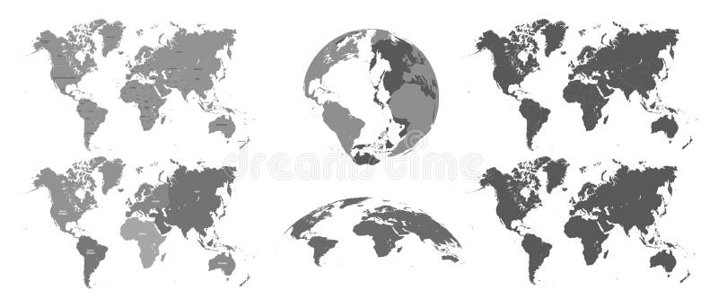
World gray maps. Map atlas, earth topography mapping silhouette vector isolated illustration set
World gray maps. Map atlas, earth topography mapping silhouette. countries universe globe mapping boundaries location planet vector isolated symbols illustration set
View Full Image on Dreamstime
Keywords:
abstractafricaamericaasiaatlasaustraliabusinesscartographycontinentcountrycoverdetaildetaileddigitaleartheducationeuropegeographyglobalglobegrayiconillustrationinternationalisolatedlandmapsmodernnorthoceanplanetpoliticalsilhouettesouthsurfacetopographytravelusavectorworldworldmapworldwide
Username: Tartilastock
Editorial: No
Width: 7350 pixels
Height: 3150 pixels
Downloads: 7
Image ID: 136501726