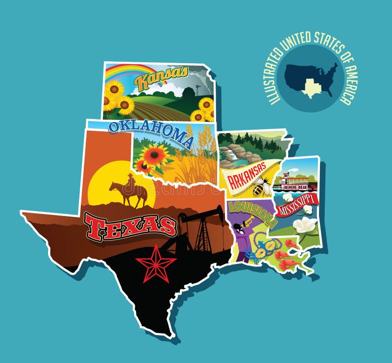
Illustrated pictorial map of South central United States.
Illustrated pictorial map of south central United States. Includes Kansas, Oklahoma, Texas, Arkansas Louisiana and Mississippi. Vector Illustration.
View Full Image on Dreamstime
Keywords:
americaarkansascentralcowboydesigndrawingeducationalelementsgrasillustratedillustrationincludeskansaslandmarkslandscapelouisianamapmardimississippinatureoklahomaoutdoorsoutlinepaddleboatpictorialposterpuzzlerainbowshrimpsouthstatesstickersunflowerssunsettexastornadotravelunitedvectorwaterfallwheat
Username: rogerothornhill
Editorial: No
Width: 5340 pixels
Height: 4946 pixels
Downloads: 28
Image ID: 137988344