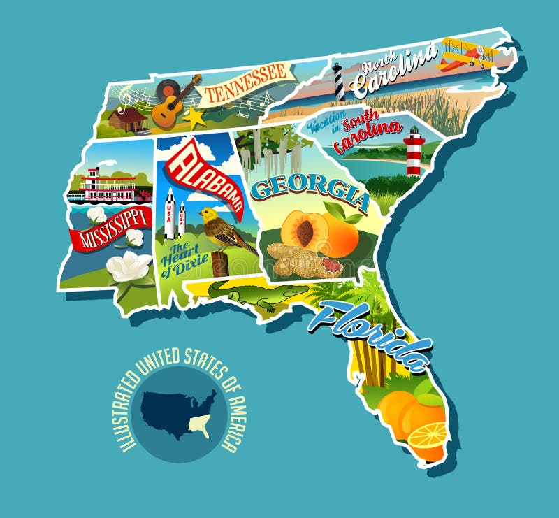
Illustrated pictorial map of Southern United States.
Illustrated pictorial map of Southern United States. Includes Tennessee, Carolinas, Georgia, Florida, Alabama and Mississippi. Vector Illustration.
View Full Image on Dreamstime
Keywords:
alabamaalligatoramericabanksbiplanecabincarolinascottondesigndrawingeducationalelementsfloridageorgiaguitarillustratedillustrationincludeslandmarkslandscapelighthousemagnoliamapmississippimountainsmusicnatureorangesoutdoorsouteroutlinepalmpeachespeanutspictorialposterpuzzlesmokysouthernstatessteamboatstickersunsettennesseetraveltreeunitedvectoryellowhammer
Username: rogerothornhill
Editorial: No
Width: 5429 pixels
Height: 5028 pixels
Downloads: 36
Image ID: 137988346