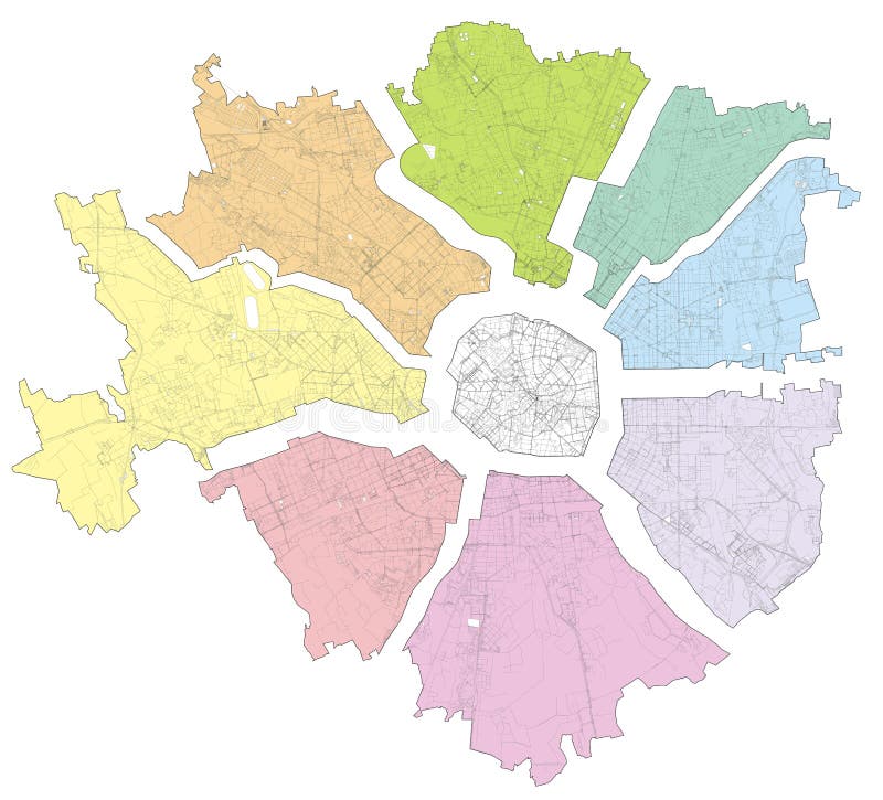
Satellite map of Milan divided into zones and municipalities. Streets. Lombardy. Italy
Satellite map of Milan divided into zones and municipalities. Streets of the Lombard capital. Lombardy. Italy
View Full Image on Dreamstime
Keywords:
aerialarchitectureatlasbackgroundblackborderbuildingbuildingscapitalcitycountrydesigndestinationdistrictdividedeuropehighwayhighwaysinformationisolateditalylandmarklineslombardlombardymapmilanministrymunicipalitiesoutlineringriversroadssatellitesignsignpoststreetssymboltoptouristictraffictransportationurbanviewwhitezones
Username: Vampy1
Editorial: No
Width: 7874 pixels
Height: 7135 pixels
Downloads: 5
Image ID: 160916965