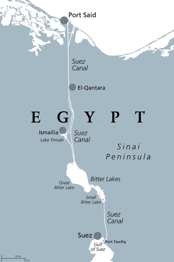
Suez Canal, artificial sea-level waterway in Egypt, gray political map
Suez Canal, gray political map. Artificial sea-level waterway in Egypt, connecting the Mediterranean Sea to the Red Sea, dividing Africa and Asia, extends from Port Said to Suez. Illustration. Vector.
View Full Image on Dreamstime
Keywords:
africaartificialasiaatlasbittercanalcargocartographychannelcoastlineconnectcontainercountrycruiseegyptgeographygraygreatgulfillustrationismailialakelakeslevelmapmappingmediterraneanpeninsulapoliticalportredsaidseashipshippingsinaisuessueztradetransittransporttransportationtravelvectorwaterwaterwayway
Username: Peterhermesfurian
Editorial: No
Width: 6000 pixels
Height: 9000 pixels
Downloads: 2
Image ID: 214559489