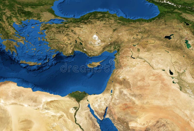
Middle East map in global satellite photo
Middle East map in global satellite photo, flat view of part of world from space. Detailed physical map of Turkey, Syria, Israel, Lebanon, Egypt, Jordan. Elements of this image furnished by NASA
View Full Image on Dreamstime
Keywords:
aerialbackgrounddetailedeartheasteasterneducationegyptflatflattenedgeogeographyglobalglobegreenimageiraqisraeljordanlandlandformslandscapelebanonmapmediterraneanmercatormiddleorbitoverviewpalestinepanoramaphotophotographyphysicalpictureplanisphereprojectionredsatelliteseaspacesurfacesyriatemplateterraintexturetopographyturkeyviewworld
Username: Scaliger
Editorial: No
Width: 5000 pixels
Height: 3379 pixels
Downloads: 11
Image ID: 219433091