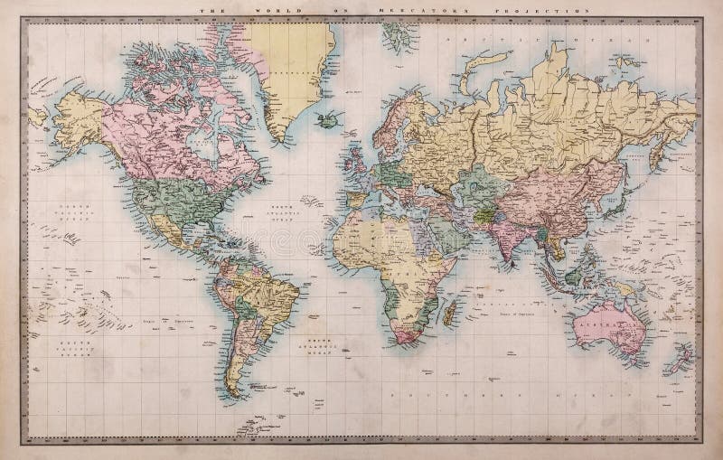
Old World Map on Mercators Projection
Original old hand coloured map of the World on Mercators projection circa 1860, please note the countries are named as they were then i.e. Persia, Arabia and Siam etc. Joined from two pages of an atlas there are a few stains as expected with a document that's over 150 years old.
View Full Image on Dreamstime
Keywords:
186019thadventureancientantiqueatlasauthenticbackgroundbrownburntcartographycontinentscountriescreaseddateddirtydiscoverydrawnearthexplorationfadedfashionedgenuinegeographyglobalglobegrungegrungyhandhistorichistorymapnobodyobjectoldoriginalpaperparchmentrealretrosepiastainedtonedtornvintageweatheredworldworldwideworn
Username: Rtimages
Editorial: No
Width: 4486 pixels
Height: 2854 pixels
Downloads: 352
Image ID: 29456668