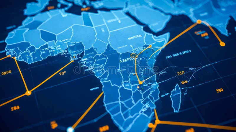
Detailed digital map Africa showing interconnected orange lines paths data flow, geopolitical borders highlighted
map Africa orange connection lines, numerical data points, travel routes representation, international network concept, detailed continental outline AI generated
View Full Image on Dreamstime
Keywords:
africamapconnectionsnetworktraveldatablueorangegeopoliticaldigitalinternationalnetworkingnumericaldetailedtradinginternetpoliticalcartographyafricancloseupvisualizationroutesbusinessstrategicnumbersdesignnavigationcyberfocustopographygeographygraphicsstrategydiagrammodelingtopologyborderlinesflowmappingeconomicpathwayscountryanalysisglobeaigenerated
Username: Celtsarmat
Editorial: No
Width: 6400 pixels
Height: 3584 pixels
Downloads: 0
Image ID: 331962850