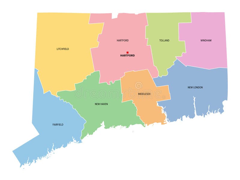
Connecticut, U.S. state, subdivided into 8 counties, multi colored map
Connecticut, U.S. state, subdivided into 8 counties, multi colored political map with capital Hartford, borders and county names. State in the New England region of the USA. The Constitution State.
View Full Image on Dreamstime
Keywords:
connecticutstatecountiescountyunitedstatesdivisionsilhouettemapsubdivisiondistrictenglandnortheasternamericasamericausacthartfordfairfieldmiddlesextollandwindhamhavenlitchfieldatlanticconstitutionadministrativesubdividedfederalstructureborderboundarycountrycapitallandmappingatlasoverviewinfographiccartographygeographymulticoloredcolorspoliticaltraveldestinationisolatedvector
Username: Peterhermesfurian
Editorial: No
Width: 8015 pixels
Height: 6000 pixels
Downloads: 0
Image ID: 333300358