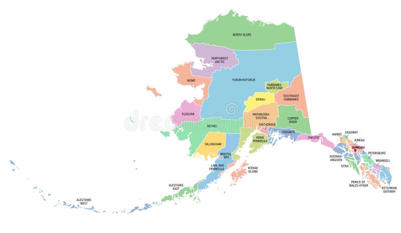
Alaska, U.S. state, boroughs and census areas, multi colored political map
Alaska, U.S. state, subdivided into 19 organized boroughs and 11 census areas, multi colored political map. State on the northwest extremity of North America in the Western USA region. Last Frontier.
View Full Image on Dreamstime
Keywords:
alaskastateboroughcensusareaunitedstatesmapdistrictsilhouettecountiescountydivisionsubdivisionamericasamericaususawesternakjuneauanchoragefairbankskodiakislandaleutiansaleutianswesteastpacificlastfrontierislandsadministrativefederalarchipelagoborderboundarycountrycapitallandcolorsmulticoloredpoliticalmappingatlasoverviewcartographygeographyinfographictraveldestinationisolatedvector
Username: Peterhermesfurian
Editorial: No
Width: 9000 pixels
Height: 5232 pixels
Downloads: 0
Image ID: 337512153