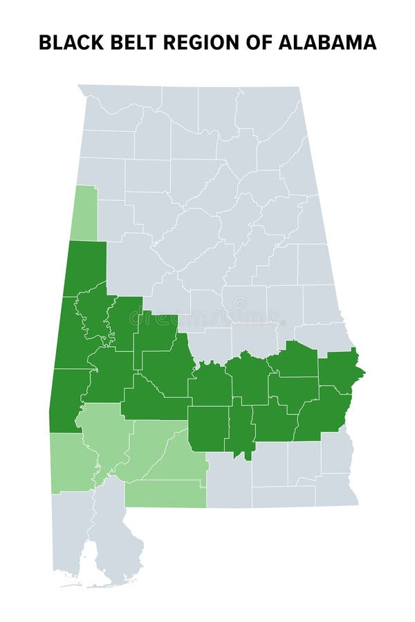
Black Belt region of Alabama, political map
Black Belt region of U.S. state of Alabama, political map. Green highlighted are counties where African Americans comprise population majority, light green counties are sometimes considered part of it.
View Full Image on Dreamstime
Keywords:
blackbeltalabamastateregionareacountiesafricanamericansmapunitedstatesblackafro-americansethnicgroupcountypopulationmajorityamericansouthamericansouthernamericausaussocialhistorysocialcottoncottonplantationslaveryenslavedfreedmendiscriminationworkerssoildarkstatisticspoliticalgreengeographiccartographyinfographicoverviewmappingatlasisolatedvector
Username: Peterhermesfurian
Editorial: No
Width: 5998 pixels
Height: 9000 pixels
Downloads: 0
Image ID: 342798617