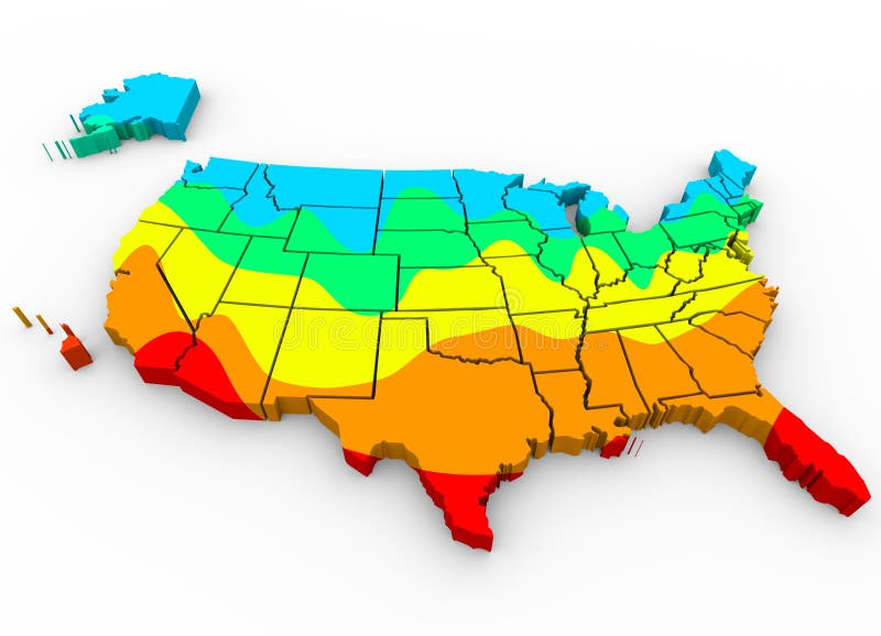
United States America Map Average Temperatures Hottest Coldest R
A map of the United States of America with regions color coded to illustrate average temperatures with hottest areas in red and coldest in blue
View Full Image on Dreamstime
Keywords:
americaamericanannualareaareasaveragechangeclimatecoastcoldcoldercoldestcolorcountryeastglobalheathothotterhottestincreaseincreasingmapmeanmediannorthpatternregionsouthstatestatessummertemperaturetemperaturesunitedusawarmwarmerwarmingwarmthweatherwestwinter
Username: Iqoncept
Editorial: No
Width: 4096 pixels
Height: 2957 pixels
Downloads: 19
Image ID: 42011966