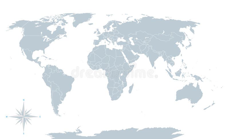
Political world map, grey, with white borders.
Political world map, grey, with white borders. Every state and continent labeled and selectable. Versatile file, turn on an off visibility and color of each country in one click.
View Full Image on Dreamstime
Keywords:
africaamericaantarcticaasiaatlasaustraliabackgroundbordersbusinesscartographycitycompasscontinentcountrydetaileartheducationelementseuropeflatgeographyglobalglobegreyillustrationinteractivelocationmapnationnorthoceanplanetpoliticalpresentationroseseastatethetravelusavectorversatilewhiteworldworldwide
Username: Michello
Editorial: No
Width: 6144 pixels
Height: 3744 pixels
Downloads: 143
Image ID: 53551633