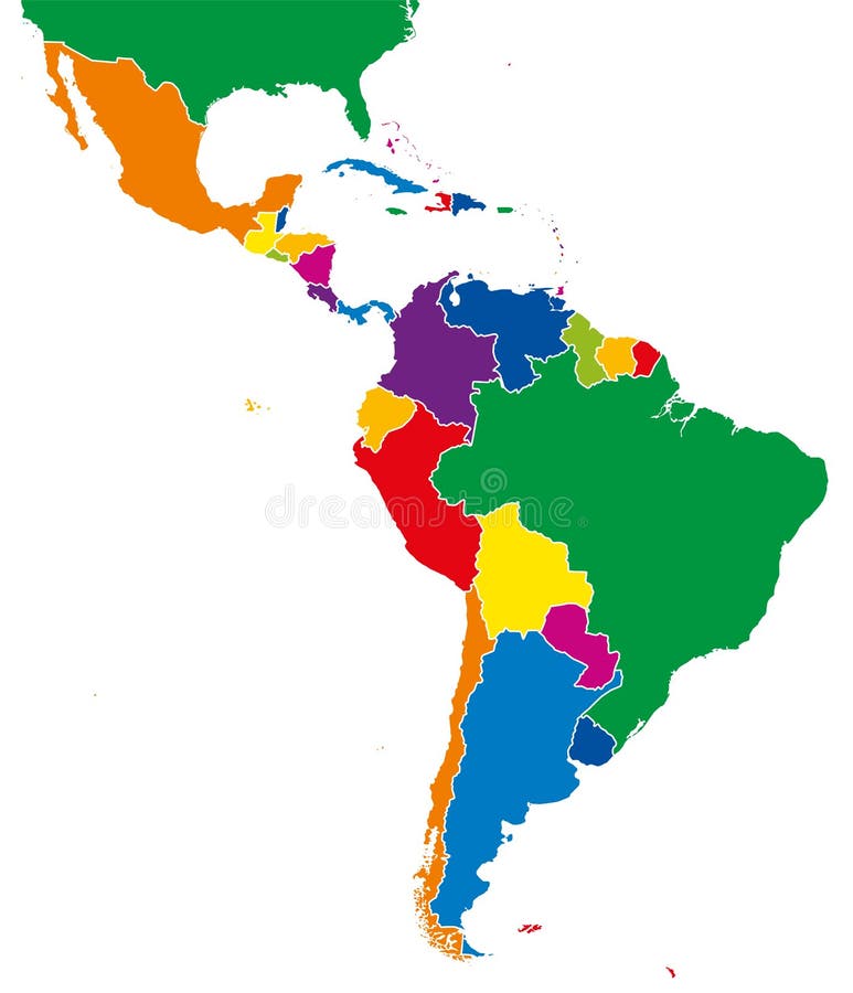
Latin America single states map full color
Latin America single states map. All countries in different full intense colors and with national borders. From northern border of Mexico to the southern tip of South America, including the Caribbean.
View Full Image on Dreamstime
Keywords:
americaamericasargentinaatlasboliviabordersbrazilcaribbeancartographycentralchilecolombiacolorcontinentcountryecuadorgalapagosgeographylatinmapmexiconationperupoliticalsinglesouthstatevenezuela
Username: Peterhermesfurian
Editorial: No
Width: 7158 pixels
Height: 8333 pixels
Downloads: 37
Image ID: 78461109