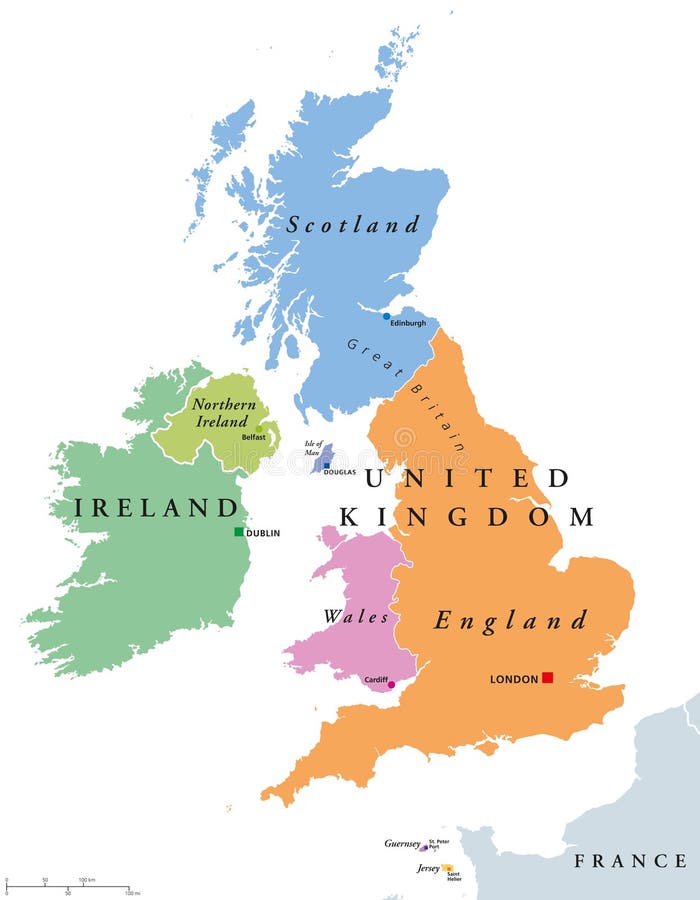
United Kingdom countries and Ireland political map
United Kingdom countries and Ireland political map. England, Scotland, Wales, Northern Ireland, Guernsey, Jersey, Isle of Man and their capitals in different colors. Illustration on white background.
View Full Image on Dreamstime
Keywords:
backgroundbelfastbritainbritishcapitalcardiffcolorsdouglasdublinedinburghenglandeuropegreatguernseyillustrationirelandislandsisleislesjerseykingdomlandlondonmanmapnationnorthernpoliticalscotlandunitedwaleswhite
Username: Peterhermesfurian
Editorial: No
Width: 7085 pixels
Height: 9111 pixels
Downloads: 10
Image ID: 80483968