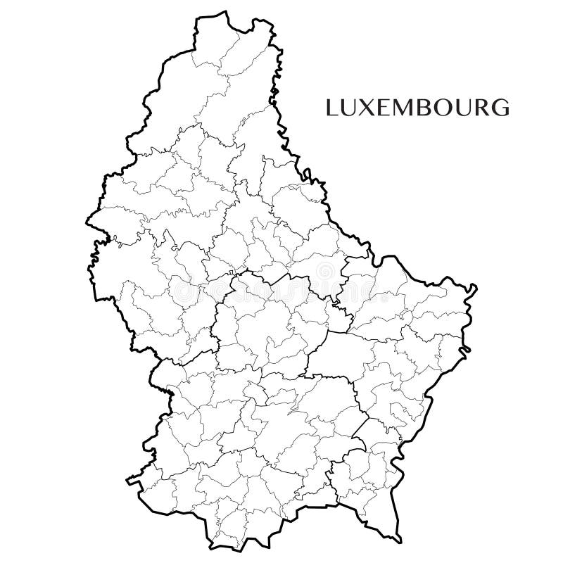
Vector map of the Grand Duchy of Luxembourg
Detailed map of the Grand Duchy of Luxembourg with 6 layers corresponding to the background layer and borders of municipalities, subdistricts, former districts, and country. Vector illustration.
View Full Image on Dreamstime
Keywords:
accurateadministrationadministrativeatlasbackgroundblankborderboundariescartographycontourscountrydetaileddiekirchdifferdangedistrictduchydudelangeescheuropegeographygeopoliticalgrandgrevenmacherillustrationinternallandlimitlineluxembourgmapmunicipalitypoliticalprovinceregionstatesubdistrictsubdivisionterritorytownshipvectorvillagewallpaperwhite
Username: Dorkky
Editorial: No
Width: 5000 pixels
Height: 5000 pixels
Downloads: 1
Image ID: 93520977